
The world beneath our feet is a complex one (or a messy one depending on your opinion of it). Either way, it seems like with the technology we have at our hands, it’d be easier to make sense of it all? Wouldn’t it be great if we could hold up our phones and see all the mysterious things that are beneath our feet? Well one way to do that is the use of augmented reality, by overlaying the data we have on these objects into the real world so we can do exactly that – brilliant, job done!
Well, not exactly…
Background to project
In 2019, MAVRiC attended CITC11, a conference showcasing the latest innovations in construction. The papers we presented were on the use of augmented reality for utilities. The research aimed to gauge the suitability for AR on underground utility infrastructure by questioning those in the industry and obtain their opinions on it. With AR progressing faster than ever, it was important to see whether the industry was ready for it, and with the “ability to see the unseen”, utilities seemed like a promising area to research.
In order to do this, we proposed to make a 3D model of underground utilities using industry standard software, put it into a game engine and enable AR functionality, show it to some participants and finally get their thoughts on it.
How was it made?
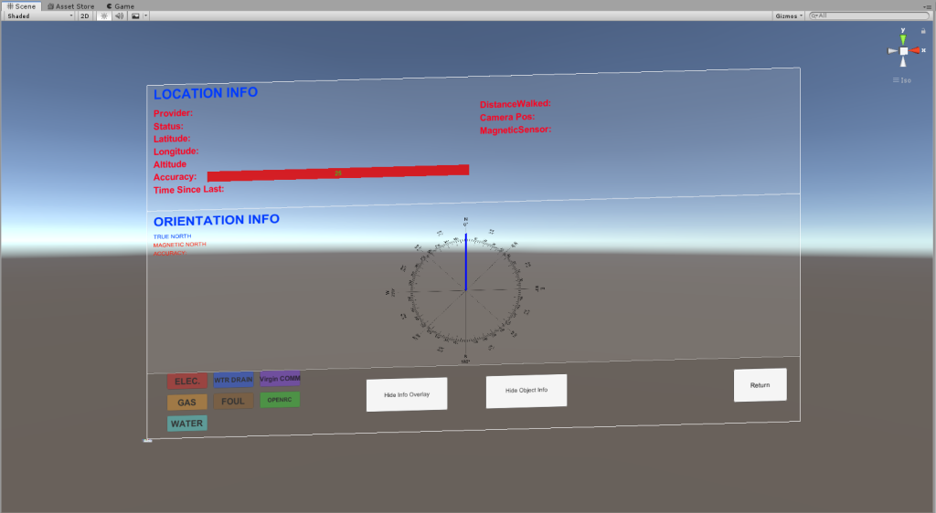
The first step was to create a 3D model, to do this, an underground utility survey in 2D .dwg format was converted into a 3D model using Autodesk Civil 3D and a Pipes Toolbox Plugin.

Once the 3D model was created, this was then loaded into the Unity game engine to allow for an AR functionality. After testing numerous AR platforms, our chosen API was Unity’s native “AR foundation”, this provided fantastic AR overlays but fell behind when it came to globally positioned AR.

Luckily, there’s an app for that! An extension by the name of AR + GPS:
We really enjoyed working with this plugin, not only was it intuitive, it provided out of the box accuracy measurements to show how much signal you were getting, and it enabled us to have GPS positioning in AR with little struggle.
What did we find out?
Having GPS is one thing, using it is another. Once we got on site, it was tricky to keep the model still. GPS only has an accuracy of about 5m at best, and for utility models this wasn’t accurate enough, the plugin even did its best to combat this by fixing the model at an average of the GPS points, but to little avail our end.
Despite our inaccurate model, something interesting came out from the interviews. A lot of experts in the field were concerned that even if the AR model was 100% accurate, the data going into it is very often poor and only an interpretation of what’s going on, which means using this as a tool or a means to dig, even with highly accurate AR, isn’t going to be a good idea unless the data is also 100% accurate

Despite this, a lot of people said that AR as a means of utility training is a much better idea. That way those new to the field can get an understanding of how utilities look before digging up the ground, without the inherent risk that comes with using AR as a means to dig up the ground
Conclusion
So are utilities ready for AR? Not quite, but it’s getting there! Here are the things to consider:
Health and safety:
- The principle reduces risks associated to underground pipes.
- The application raises other concerns such as misinformation, negligence and distraction.
Costs:
- Previous research alludes to cost savings – either directly or indirectly through AR’s use.
- Our research suggests to the contrary, whereas cost-related issues were not the most positively impactful factors.
Development:
- Challenges regarding interoperability, geo-locating and geo-tagging of data.
- Long term prospects for GPS appear insufficient for AR’s application, suggesting alternative localisation systems such as SLAM or Sensors.
- Raising awareness, education and training are key to facilitate its development.
- The quality and content of infrastructure and utility data should be improved and ideally stored centrally in a nationally procured database to grow the accuracy of utility data.
Would you like to see AR for utilities happen? Let us know, we’d love to hear your thoughts. If you’d like to learn more about the research, you can read the paper here:

2 thoughts on “Utilities aren’t ready for augmented reality, and here’s why…”