
Earlier this year, MAVRiC were approached to develop an exciting Virtual Reality (VR) application that aims to address the need for sustainable urban agriculture. In collaboration with the Brighton and Hove Food Partnership and the University of Brighton, our task was to reflect, and perhaps enhance the principles outlined in Dr Mikey Tomkins “Edible Map”Continue reading “Virtual Reality for Urban Gardening: Creating the Model”
Tag Archives: LiDAR
Fun Ways to Use Point Cloud in VR
Capturing point cloud data is an interesting pursuit, however post-production to clean up these scanned assets if often the opposite and can be quite a tedious task depending on your use case. Continuing our LiDAR journey then, today we look at ways to make things a little more interesting in this space. How so? Easy,Continue reading “Fun Ways to Use Point Cloud in VR”
LiDAR contenders: How do they measure up?📏

Several months ago we took an in-depth look at MagicPlan with their updated LiDAR scanning capabilities and compared how effective it was against traditional pen & paper approach. We found that the LiDAR on it’s own was pretty “naff” when it comes to accuracy. Today we are looking at another option available using LiDAR toContinue reading “LiDAR contenders: How do they measure up?📏”
MagicPlan: Now with added LiDAR 🧂
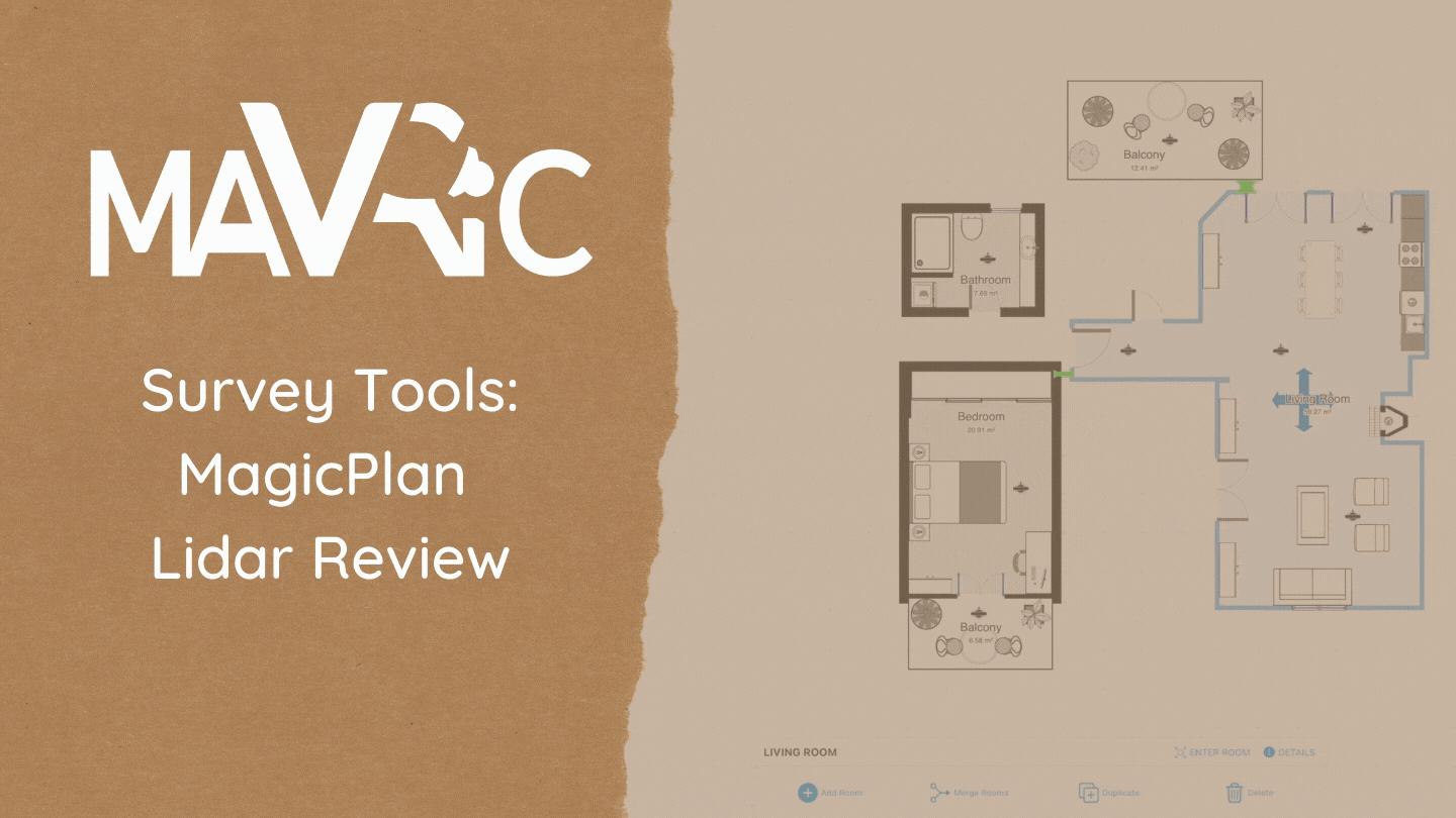
Your measured surveys are taking too long aren’t they? You want surveys complete in the time it takes to drink that cup of tea the client has made – lucky you! that’ll take the edge off the monotony – and you want to head back to HQ safe in the knowledge that you’ve (definitely) notContinue reading “MagicPlan: Now with added LiDAR 🧂”
